
PONTA DELGADA
(CITY)
37°44′28″N 25°40′50″W
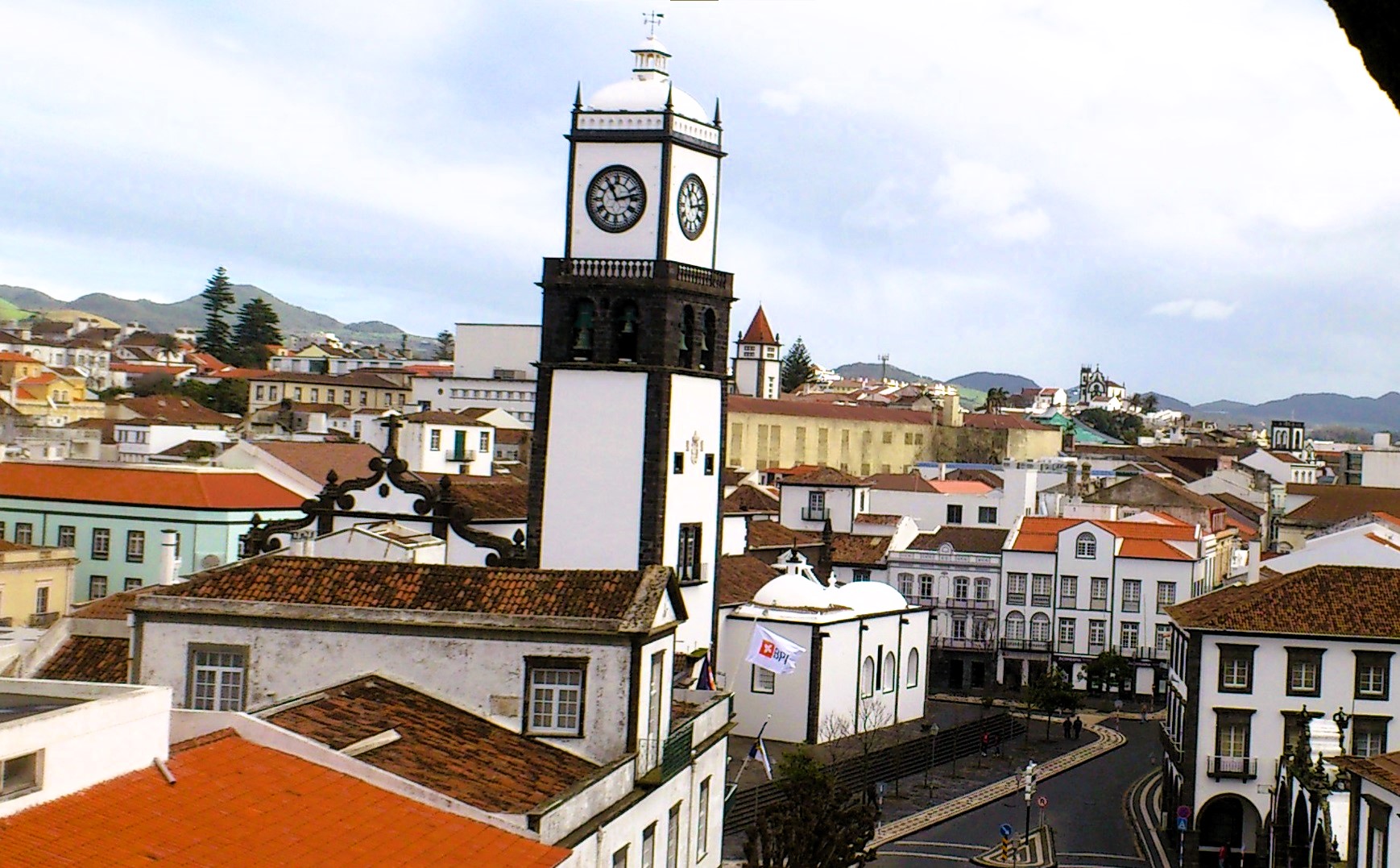
The city of Ponta Delgada, the capital of São Miguel Island and headquarters of the Municipality of Ponta Delgada, is made up of four parishes: Santa Clara, São José, São Sebastião and São
Pedro, constituting the Urban zone of the municipality.


Ponta Delgada is a Portuguese city located on the island of São Miguel belonging to the Autonomous Region of the Azores with a population of 46,897 (2021).
Ponta Delgada is the administrative and economic capital of the Autonomous Region of the Azores and the largest city in this region.
It is the seat of the Municipality of Ponta Delgada with an area of 231.90 km² and 67,229 inhabitants (2021), subdivided into 24 parishes. The municipality, the largest in the Azores and the one with the greatest diversity of equipment, is limited to the east by the municipalities of Ribeira Grande and Lagoa and has a coastline on the Atlantic Ocean to the north, south and west.
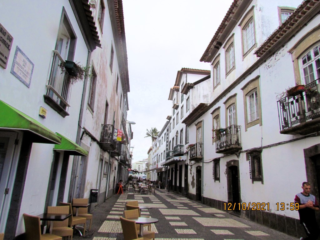
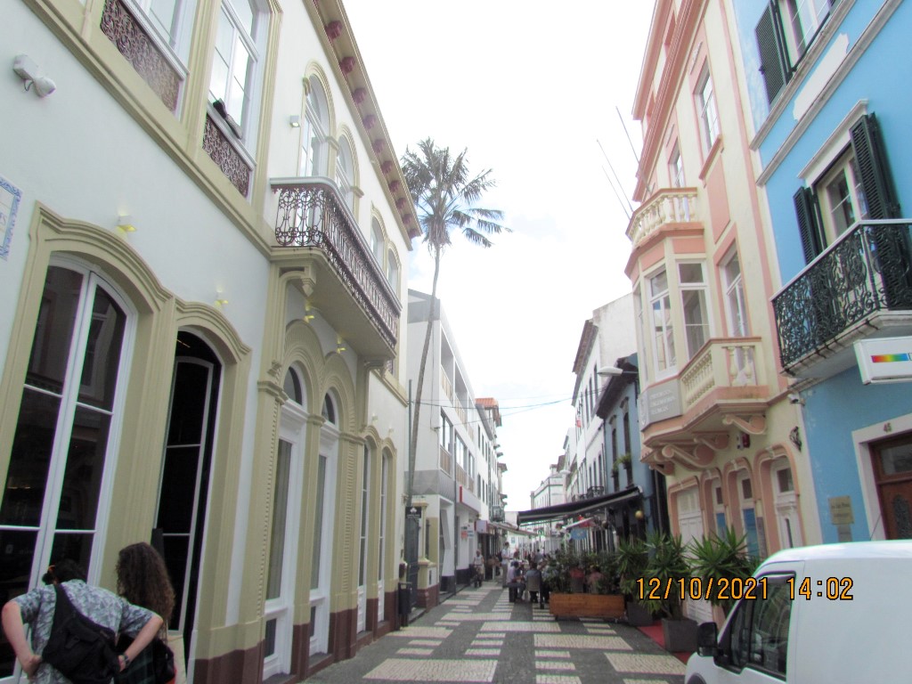
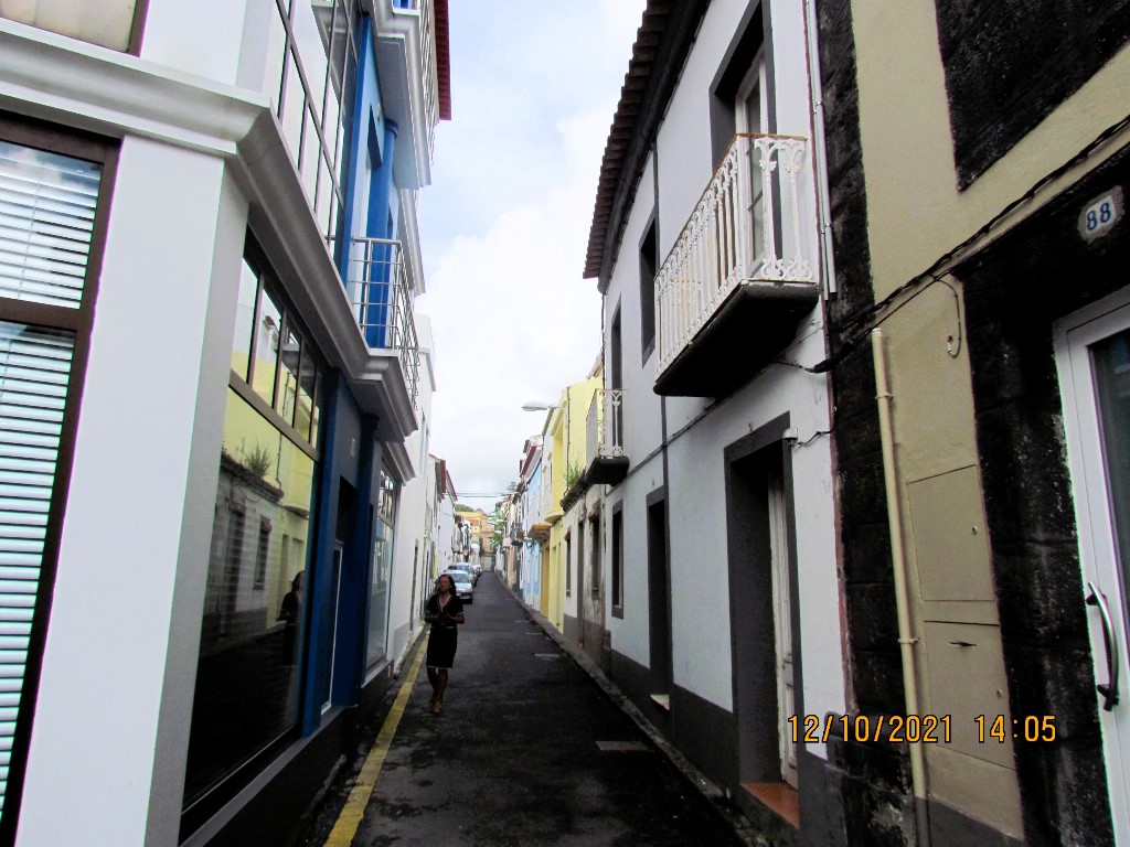
With more than five centuries of existence, Ponta Delgada is a flat, modern, and cosmopolitan city.


History
In around 1450, Pêro de Teive established a small fishing village that eventually grew into the urban agglomeration in Santa Clara.
Populated since 1444, São Miguel was a relatively large island with small settlements scattered about, except for Vila Franca do Campo in the central-southern coast and the smaller community of Ponta Delgada. Villa Franca had for many years been the center of the island economically and socially and the seat of the local government, but many nobles and landed gentry despised its subordinate status to the government in that town (originating many conflicts between these inhabitants and administrators in the southern coast).[5] The nobles in Ponta Delgada sent a secret contingent, headed by Fernão Jorge Velho, to meet with King Manuel in Lisbon to petition that the community be emancipated. In Abrantes, King Manuel conferred a foral on 29 May 1507, elevating the settlement to the status of a village (Portuguese: vila).
Then, in 1522 an earthquake and landslide devastated the provincial capital, destroying many of the buildings and killing several people. Ponta Delgada became the only centre with an infrastructure to support the Azorean bureaucracy and supplant its important economic links. Quickly, its role changed, and eventually, it was elevated to the status of city during the reign of King D. João III by decree, dated 2 April 1546.


The naval Battle of Ponta Delgada (also known as the Battle of São Miguel), on 26 July 1582, off the coast, was part of the 1580 Portuguese succession crisis. An Anglo-French corsair expedition sailed against Spain to preserve Portuguese control of the Azores, which had aligned itself with the pretender António, Prior of Crato, thereby preventing Spanish control (it was the largest French force sent overseas before the age of Louis XIV).
During the 19th century, the municipality experienced its greatest boost of economic activity, with the funneling of citrus exports to the United Kingdom and the growth of foreign-owned businesses in the historic center, many of them Jewish merchants after 1818.[6] As with other centers across the archipelago, the town of Ponta Delgada experienced many of the trends common for the period, including the "greening" of the communities (with the construction of the gardens of António Borges, José do Canto, Jácome Correia, and the Viscount of Porto Formoso, which would become part of the University of the Azores), the construction of many of the ornate homes/estates, the clearing of animals from urban spaces, the opening of newer, larger roadways, the moving of cemeteries to the periphery, and relocation of markets for fish, meat and fruits. Due to these changes, and the growth of the mercantile class, Ponta Delgada became the third-largest town in Portugal, in economic riches and the number of residents. The poet Bulhão Pato, writing of Ponta Delgada, was surprised by the extraordinary riches of the plantation owners, the "gentlemen farmers" that lived within the urbanized core: exporters of oranges and corn, bankers, investors, industrialists and shippers, all contributing to a privileged class of economic and social thinkers and philanthropists.
At the beginning of the 20th century, Ponta Delgada's position was relatively high (eighth largest), although the changing importance of rural economies steadily chipped away at its growth. But it remained the central place in the economy and hierarchy of the Azorean archipelago.


Climate
According to the Köppen climate classification, Ponta Delgada has a Mediterranean climate and a humid subtropical climate (Csa / Cfa) bordering on an oceanic climate (Csb / Cfb). It has warm dry summers, with moderate precipitation, and mild, wet winters. Much like the rest of the Azores, the city is shaped by the Gulf Stream and consequently has a narrow temperature variation.[9] Mean temperatures vary between 14.5 °C (58.1 °F) in the winter to around 22 °C (72 °F) in the summer and daytime highs vary between 17 °C (63 °F) in the winter to 25 °C (77 °F) in the summer. The average annual relative humidity is around 80%, which may influence the perceived temperature by a few degrees in the warmer months. Temperatures above 30 °C (86 °F), or below 4 °C (39 °F) have never been registered. The strong influence of the Atlantic Ocean produces significant seasonal lag. On average, the coolest month is February, while the warmest is August, as well as September, October, November, and December each having warmer weather compared to July, June, May and April respectively.
The Gulf Stream also contributes to unstable weather that varies greatly during autumn and spring, making weather forecasting daily difficult. Winters are generally milder and summers are humid compared to those of continental Portugal. Its location is one of the limits for pressure measurement to verify the North Atlantic Oscillation (NAO).
Transport
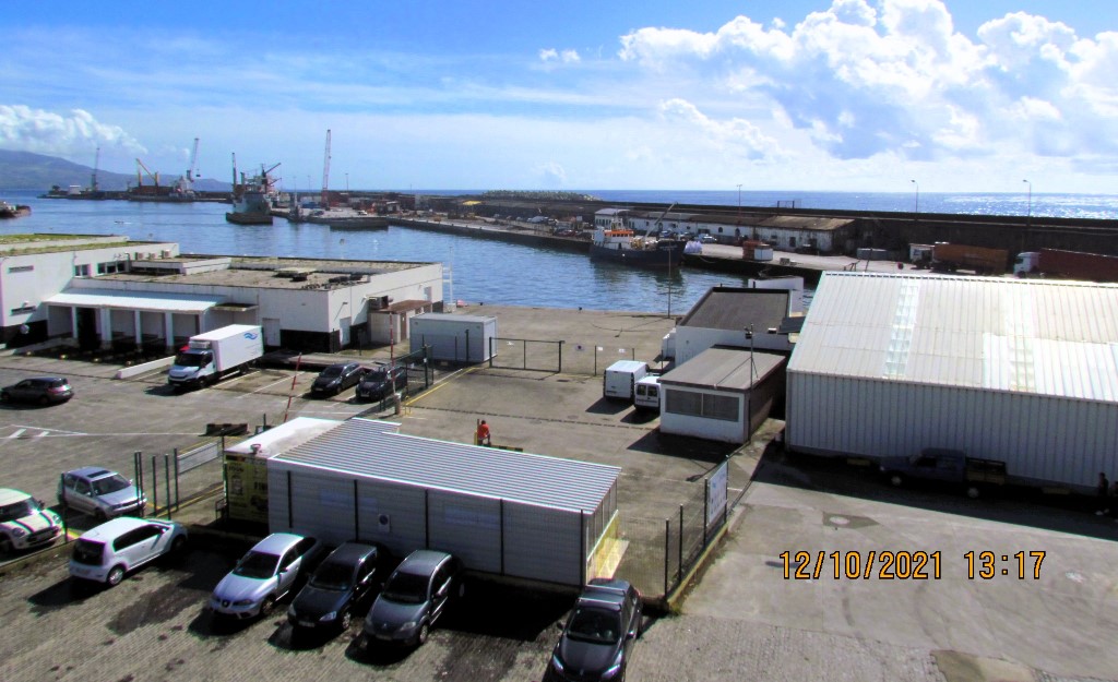
Served by an international airport in the parish of Relva (Ponta Delgada-João Paulo II International Airport), the municipality is the principal port of entry for goods entering and people arriving in the Azores.[19] SATA International and SATA Air Açores have their head offices in Ponta Delgada.harbor
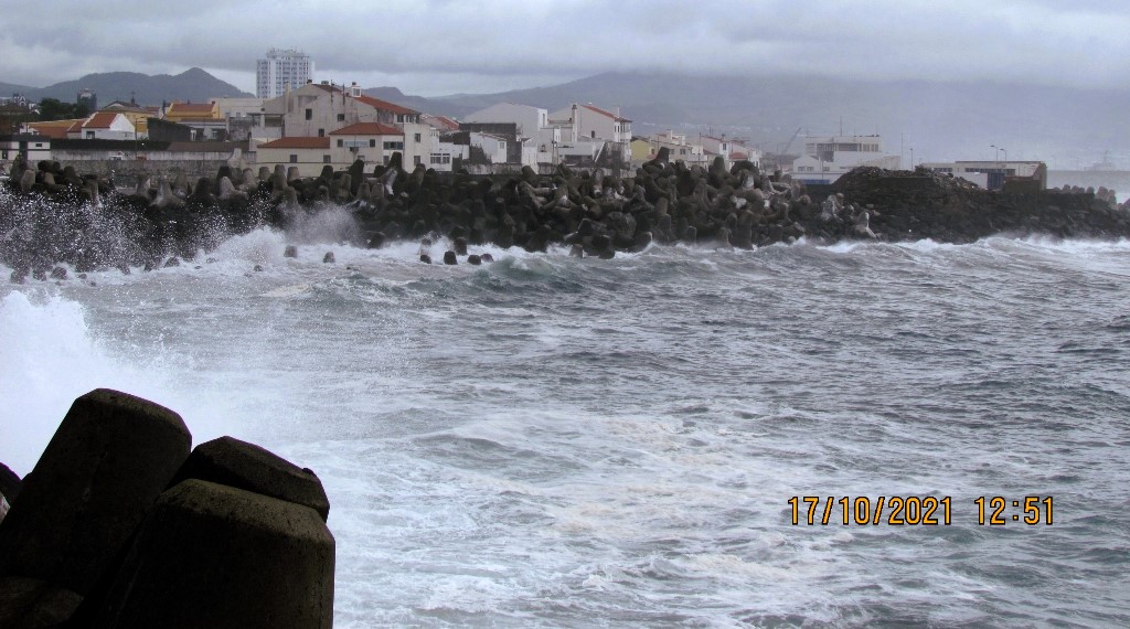
Near the harbour of Ponta Delgada, a broad gauge railway was used several times to build and enlarge the harbor. The track used a seven-foot gauge, but it is unclear if this was Isambard Kingdom Brunel's 7 ft (2,134 mm) Brunel gauge.
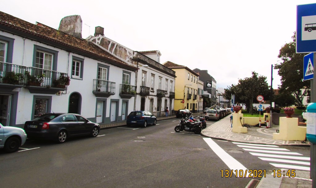
Three bus routes operate in the city on weekdays from 07:00 to 19:00. Line A runs in the western part of town, line B in the central/north, and line C in the east. There are bus services between Ponta Delgada and most other towns on the island, but usually only a few times a day. City services and island-wide services are accessible along "Avenida D. Infante Henriques" and conveniently accessible from major sites in Ponta Delgada. Up-to-date schedules are available at bus stops and the tourist office. Distances on the island are short with journeys rarely longer than 90 minutes.


Education
Ponta Delgada is home to the central nucleus of the University of the Azores, a multi-disciplinary institution that ranges from courses in tourism, computer engineering, social sciences, and business management. From its principal campus in São Pedro, the rectorate manages three poles spread throughout the Azores, including Horta (with courses in Marine Biology, affiliated with the Department of Oceanography and Fishing) and Angra do Heroísmo (with a broad course calendar of courses in teaching, business, and agricultural sciences).
Culture
Religious
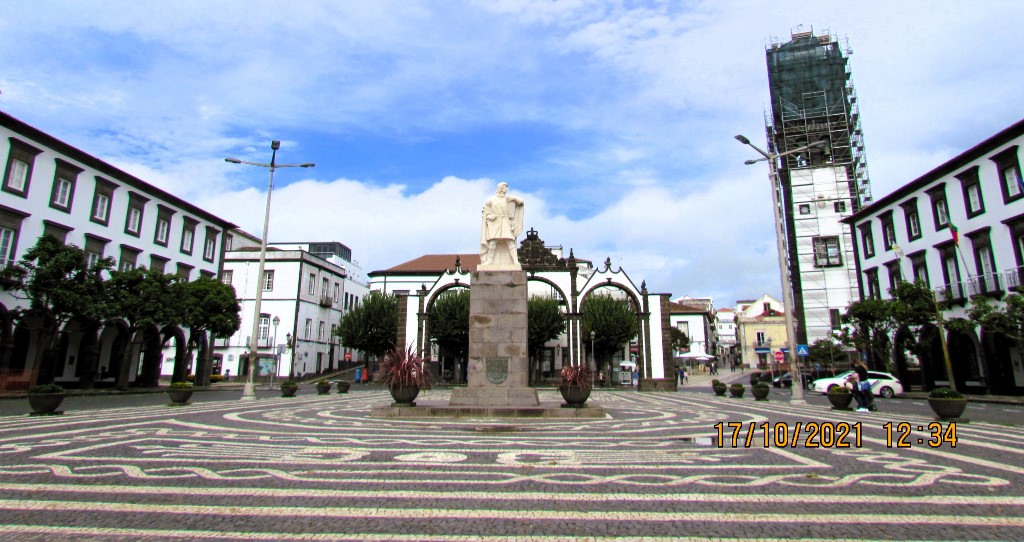
Ponta Delgada is the traditional center of the annual religious celebrations associated with the Feasts of the Lord Holy Christ of the Miracles (Portuguese: Festas do Senhor Santo Cristo dos Milagres), from the Saint Francis Square (Portuguese: Campo de São Francisco), located opposite the Fort of São Brás. This venerable feast day and week-long celebrations primarily focus on the fifth Sunday of Easter, attracting locals and Micaelense, peoples from neighboring islands in the archipelago, the Portuguese diaspora, and tourists on vacation. Associated with the Roman Catholic veneration of an Ecce Homo representing Jesus Christ following the Passion (retold in Luke 23:1–25 in the New Testament), a gift to the sisters of the Convent of Caloura in the mid-16th century, the event paralyzes the streets of the city for a day.
Following the images' move to the Convent of Our Lady of Hope (Portuguese: Convento de Nossa Senhora da Esperança), under the inspiration of the Venerable Mother Teresa da Anunciada, the figure was used in religious processions that snaked through the streets of the city, stopping at each convent (and former-convent). The cortege, which includes clergy, politicians, and lay folk, is a popular event, attracting both religious (to the procession, sanctuary, and open-air mass) and secular participants (to view and see the procession, imagery, and taste traditional foods from the barracas located along the main avenue).
Following Pentecosts, many of the parishes within the municipality participate in feasts dedicated to the Holy Spirit. A tradition across the islands of the Azores, the Cult of the Holy Spirit dates to medieval traditions, involving "promises" made to God (Portuguese: promessas), the processions of faith to and from the Church and feasts of meat-broth soup and bread donated to the poor. In comparison to other islands/parishes of the Azores, most neighbourhoods of São Miguel allow the free participation of visitors, seen as fulfilling the tenets of the tradition, rather than the narrow sub-community of the Brotherhoods of the Holy Spirit.


Secular
One of the more popular non-religious events is the Noites de Verão (Nights of Summer): a summer event, traditionally held in the square of Campo do São Francisco, but in recent years dispersed throughout the streets. Attracting families, friends and tourists to the downtown, highlighted by nightly musical events, popular Azorean bands/singers, guest concert bands, folklore groups, and some international stars, in addition to vendor concessions selling food, refreshments or small goods.[26][27] Starting usually in late June, the "Summer Nights" run until late September (four months), and is sponsored/supported by the municipal government and local/regional businesses.


SANTA CLARA
(Parish Ponta Delgada Municipality)
37.73353; -25.68630
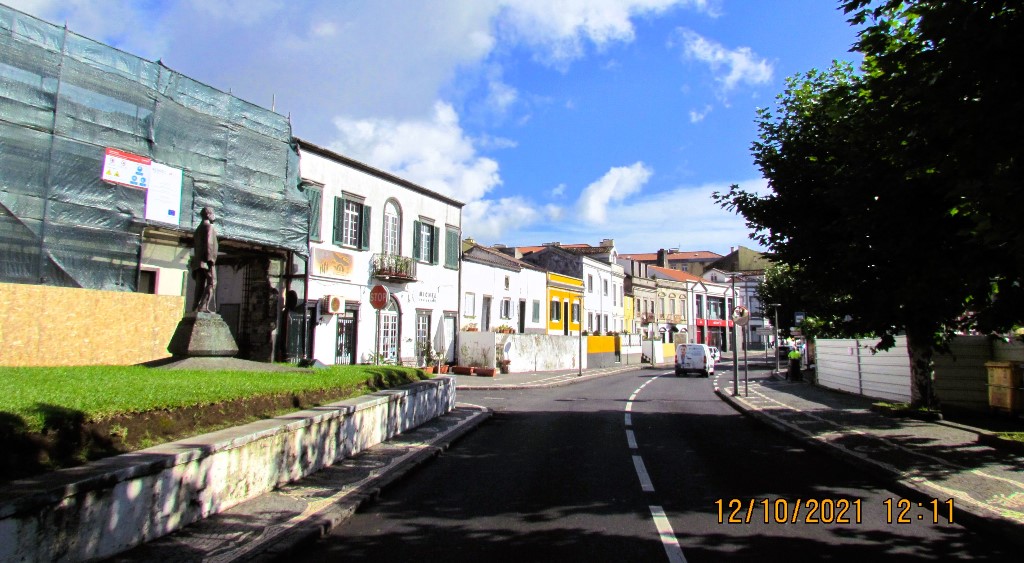
Santa Clara (Saint Clare) is a civil parish in the municipality of Ponta Delgada (São Miguel), Azores. The population in 2011 was 2,971, in an area of 2.24 km².
History
When Vila Franca do Campo was the principal centre of São Miguel, the area known as Ponta Delgada was the beginning of a vast hunting area populated by numerous "wild" mountain pigs. At the edge of this region, was the homestead of Francisco Ramalho, and was considered a starting point for huntsmen from Vila Franca. This embryonic site became the foundation of the village of Santa Clara; it was an important reference in the southwest part of the island, a determinant factor in the location and orography of the locality, combined with a cove and stone beach that later became known as "Ponta Delgada". The long, narrow basalt promontory, helped to protect the area from the undulation of Atlantic swells known as the Cunhal da Maré. The promontory helped to create a protected anchorage, that was absent along the coast until Vila Franca in the west. Many of the huntsmen that accompanied the noblemen from Vila Franca would eventually settle along the routes, creating a small nucleus. alongside farmers and fisherman.
With the growing settlement came the influence of the Church. After the construction of a temple in honour of the Franciscan Order of Poor Clares the area began to be referred to as Santa Clara.[3] The small hermitage, its date of construction nor its location, are still unknown, apart from this reference:
In addition, a short distance from the fortress to the west, is a small point called "Ponta dos Algares"...and then a small sandy bay, fronting the houses of the generous and in all things grandioso Francisco Arruda da Costa...and in great cost his walls and corbels, with his date to the sea, everything quite defensible and placed with the gate called "Santa Clara", because there existed the parochial church of this Saint.
At the time, and before it was partially destroyed by the installation of a railline to support the construction of the port, the eastern cove of Ponta Delgada was far deeper, and was situated by Gaspar Frutuoso. The temple, as Frutuoso explained, existed since 1522, and was implanted a short distance from the current church. The reference to a pebble beach, in the bay [of Ponta dos Alagres], situated in front of the property of Francisco Arruda da Costa, suggests that the remains of the small castelinho, supports many of the early descriptions. The small fort would, originally, have been situated over the clifftop walls over the coast, which were common to early island forts. The military redoubt, constructed in the 16th-17th century (with its first repair in 1643) was an important bastion in the defense of the zone, and one of the oldest populated spaces.
It was Bishop D. Pedro de Castilho, Bishop of Angra who determined the creation of a third parish in Ponta Delgada. Reference to the new ecumenical parish date to this period:
...the third parish, newly made, in Santa Clara, before being expanded, had 62 homes, with 297 confessed souls, of whom there was almost 203 who had taken communion.
In 1581, D. Pedro de Castilho, visited the hermitage in Santa Clara, insisting on a baptismal font for the new parish, and owing expanding the parishes borders towards the east. The ecumenical parish of Santa Clara persisted during prelature of Bishop Gaspar de Faria, with its seat in the hermitage of its invocation (which already existed prior to 1522, when the earthquake caused major upheavals). But, following the first quarter of the 17th century, the parish of Santa Clara changed its denomination to São José (encompassing a larger part of Ponta Delgada as the bishop had envisioned), and the original hermitage in the zone subsisted with a single member of the curia.
With the accompanying settlement of the territory, agriculture and fishing became a dominant part of the settlement in the region. By the beginning of the first quarter of the 20th century, there continued to operate windmills and milling stones in the lowlands, to catch the wind and support the pasturelands.[3] The great change came with the transformation caused by the construction of the artificial port of Ponta Delgada, at the end of 1861, resulting in the migration of stonemasons and construction workers, along with their families to the coastal zone. Santa Clara, then primarily a fishing community, began to become a neighbourhood of poor workers. Between the 19th and 20th century, now with the port functioning, the locality continued to attract workers due to the implantation of industrial companies.
The road to revive Santa Clara from a small village locality into a civil parish began with Father Fernando Vieira Gomes“de Santa Clara”, who ran a silent campaign beginning in the middle of the 1950s (beginning with Decree 7 May 19579. The long tedious process lasted most of his life, and only came to fruition with the election of its first parish organs on 9 October 2005. The proposal to reestablish Santa Clara as civil parish began with a proposal on 16 July 2001, approved as decree law on 10 July 2002, when it was formally de-annexed from the western part of the civil parish of São José.
Geography
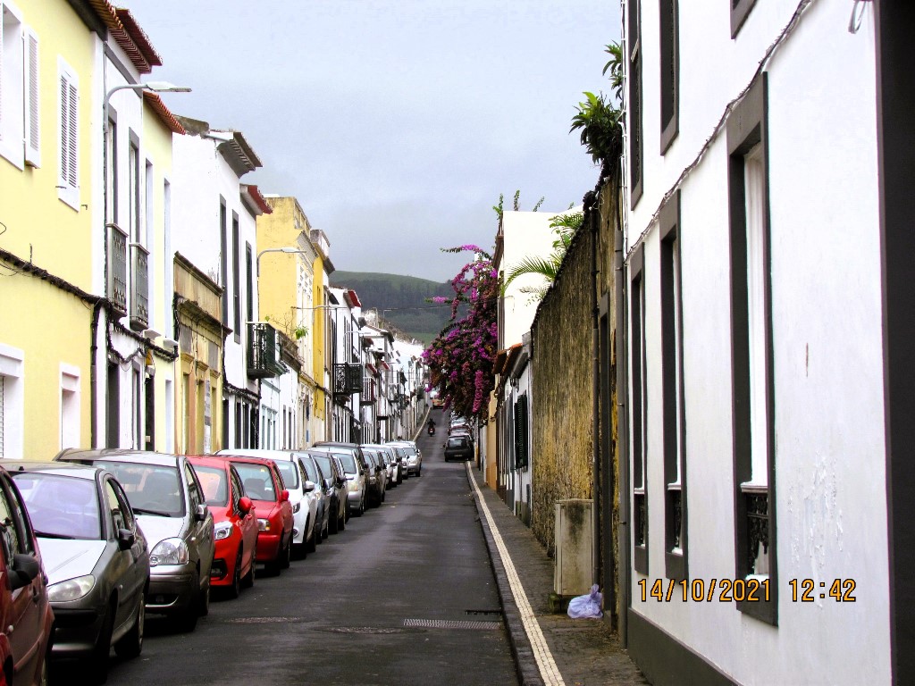
Santa Clara is an industrial zone located on the western periphery of Ponta Delgada, extending from the area around the port of Ponta Delgada, to the eastern frontier of Relva.


💝💝💝💝💝
INDEX
Search in São Miguel Island & Azores
😍😍😍😍 - AZORES ISLANDS
💟💟💟 - São Miguel Island
🔟🔟🔟🔟 - Must-see attractions
💙💙💙💙 - Municipalities
💙💙 - Parishes

- Must-see attractions

Municipalities and Parishes

Sao Miguel Island
AZORES ISLANDS
🙆🙆🙆🙆🙆🙆🙆🙆🙆🙆
🙆🙆🙆🙆🙆🙆🙆🙆🙆🙆
Return to the Index
INDEX
Search in São Miguel Island & Azores
😍😍😍😍 - AZORES ISLANDS
💟💟💟 - São Miguel Island
🔟🔟🔟🔟 - Must-see attractions
💙💙💙💙 - Municipalities
💙💙 - Parishes
- Must-see attractions
Municipalities and Parishes
Sao Miguel Island
AZORES ISLANDS
Return to mainland Portugal and
to the Azores and Madeira islands


No comments:
Post a Comment