
SETE CIDADES
(Parish of Ponta Delgada Municipality)
37.86172; -25.79222
Sete Cidades is a civil parish in the center of the Ponta Delgada municipality, located in the center of a massive volcanic crater three miles across, also referred to as Sete Cidades. The population in 2021 was 701, in an area of 19.19 km2. It is one of the smallest parishes of Ponta Delgada by population, although the largest in area. It contains the localities Cerrado da Ladeira, Cerrado das Freiras, and Sete Cidades.

Geography
Physical geography
The Sete Cidades volcano is situated on the extreme western portion of the island of São Miguel occupying an area of approximately 110 square kilometers (42 sq mi). It refers to a polygenetic volcano (Sete Cidades Massif) and caldera. Its subaerial volume, of about 70 cubic kilometers (17 cu mi), has grown at an estimated rate of 0.02–0.03 cubic kilometers (0.0048–0.0072 cu mi) per century, beginning more than 210,000 years ago. Presently, the interior is occupied by diverse volcanic structures and four lakes. It is an almost circular caldera (5 kilometers (3.1 mi) in diameter and up to 400 meters (1,300 ft) high walls) formed through three phases of eruptions. The last intra-calderan eruption occurred approximately 500 years A.D., resulting the Caldeira Seca cone. Six Holocene-era pyroclastic cones exist at the base of the caldera. Further, a large group of Pleistocene post-caldera trachytic lava domes, lava flows, and pyroclastic flow deposits has been discovered on the northwestern flanks of the massif.
The two crater lakes (Portuguese: Lagoas das Sete Cidades), 500 meters (1,600 ft) within the crater, are referred to by the color of the waters: blue, reflecting the sky (Portuguese: Lagoa Azul) and green, reflecting the ground (Portuguese: Lagoa Verde). According to legend, the differently colored lakes were created when a princess and her lover, a young shepherd, had to part from each other. The tears they shed at their farewell became the two lakes, with the water colored like their eyes.
Human geography
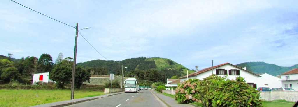
The urbanized portion of the parish, the village of Sete Cidades, is located in the southwest portion of the crater within the Cumierias da Bretanha and extends from the Blue Lake from north to south. Farmland, mostly pastures, are located around the village, and confined to the portions south of the Blue Lake. The remainder of the crater is forested, although the southeastern portion also has some grasslands. A bridge at the junction of the two lakes provides the most direct road connection to Ponta Delgada. In the western end of the crater, in an area of open parklands, a 1.2 km tunnel containing water pipes and a footpath links the crater to the village of Mosteiros.
Architecture
Church of São Nicolau (Portuguese: Igreja Paroquial de Sete Cidades/Igreja de São Nicolau), the revivalist Neo-Gothic church is oriented around a single-nave, rectangular plan consisting of a sacristy, chancel and annexes, with differentiated covering and illuminated by lateral Gothic windows. The main facada includes a single, central belltower, with a doorway and windows (also Gothic). The interior includes a baptistery, triumphal arch, and simple altar.


💝💝💝💝💝
INDEX
Search in São Miguel Island & Azores
😍😍😍😍 - AZORES ISLANDS
💟💟💟 - São Miguel Island
🔟🔟🔟🔟 - Must-see attractions
💙💙💙💙 - Municipalities
💙💙 - Parishes

- Must-see attractions

Municipalities and Parishes

Sao Miguel Island
AZORES ISLANDS
🙆🙆🙆🙆🙆🙆🙆🙆🙆🙆
🙆🙆🙆🙆🙆🙆🙆🙆🙆🙆
Return to the Index
INDEX
Search in São Miguel Island & Azores
😍😍😍😍 - AZORES ISLANDS
💟💟💟 - São Miguel Island
🔟🔟🔟🔟 - Must-see attractions
💙💙💙💙 - Municipalities
💙💙 - Parishes
- Must-see attractions
Municipalities and Parishes
Sao Miguel Island
AZORES ISLANDS
Return to mainland Portugal and
to the Azores and Madeira islands


No comments:
Post a Comment