
ÁGUA DE PAU
(PARISH OF LAGOA MUNICIPALITY)
37°43′16″N 25°30′38″W
Água de Pau is a civil parish in the municipality of Lagoa in the Portuguese archipelago of the Azores. The population in 2011 was 3,058, in an area of 17.46 km2. It contains the localities Água de Pau, Caloura, Cerco, Cinzeiro, Galera and Jubileu.
History
There are various theories as to the origin of the villa's name, Água de Pau, which literally means water of wood (which can be interpreted as waters where wood exist). The most recognized story pertains to early settlers whom, upon arriving in the vicinity of the coast, noticed a large ravine emptying into the ocean from a swamp. Another story defended locally is that the name derived from the corruption of the phrase "Água do Paul" (paul possibly being a term for swamp or bog), which itself referred to the "Ribeira do Paul", an old ravine that existed in the area behind the older parochial church of Nossa Senhora dos Anjos. The Paul has long since disappeared, and the area behind the church has been cultivated over the decades. Nossa Senhora dos Anjos dos Céus was founded, as was the custom, in the center of the faith community and it is likely that this area was an initial settlement for the community.
What is known, is that the settlement is concentrated around this church (dating back to about 1444) owing to the abundance of potable water and fertile lands. On 28 July 1515, the parish was incorporated, and the administration elevated, to the status of vila (town) by King D. Manuel I; this municipal seat, its territory comprising about a half a league of land, was de-annexed from the neighboring territory of Vila Franca do Campo.
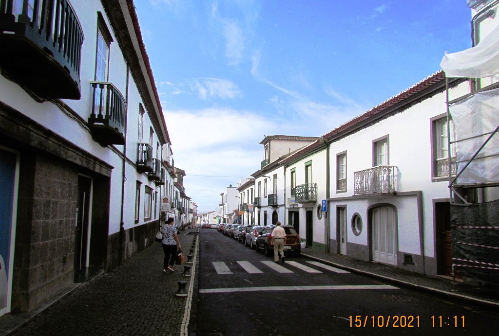
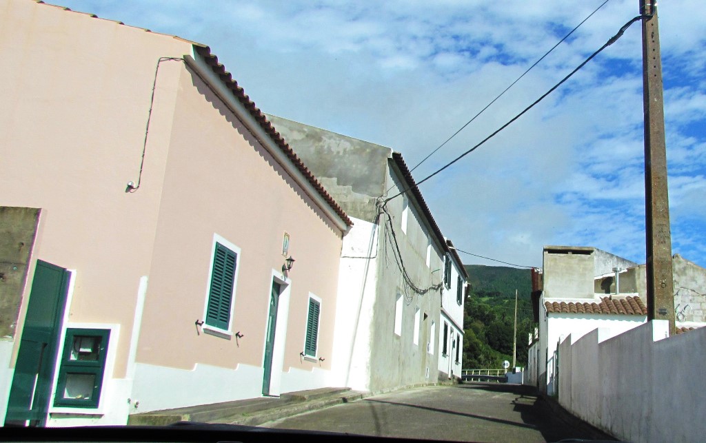
Its urban nucleus, with its narrow streets, are typical of the colored houses, flowered avenues and traditional homes of the older buildings of Portugal, but following the 1522 Vila Franca earthquake many of these homes were destroyed: reconstruction was completed on 10 November 1525.
Its administrative role lasted for 330 years, until 24 June 1853, when the parish was incorporated into the municipality of Lagoa.
Geography
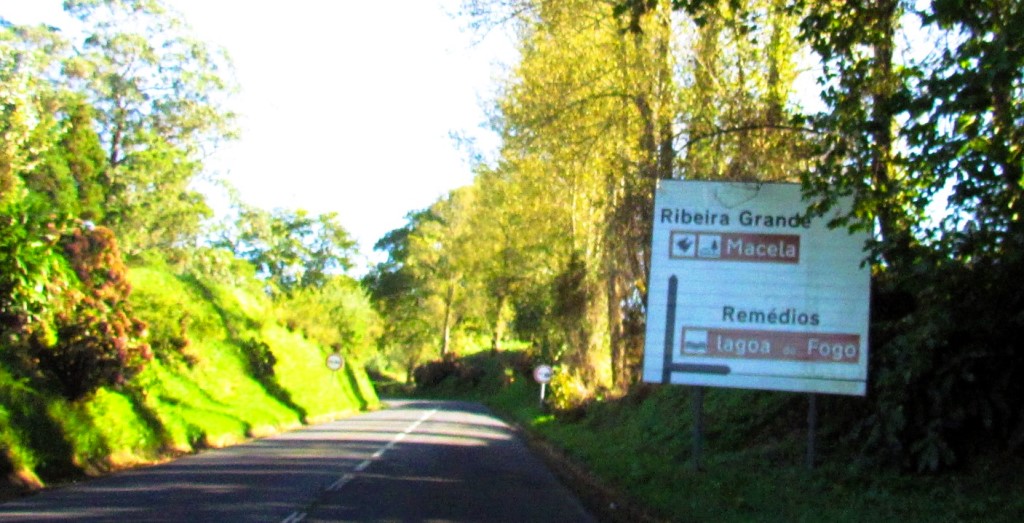
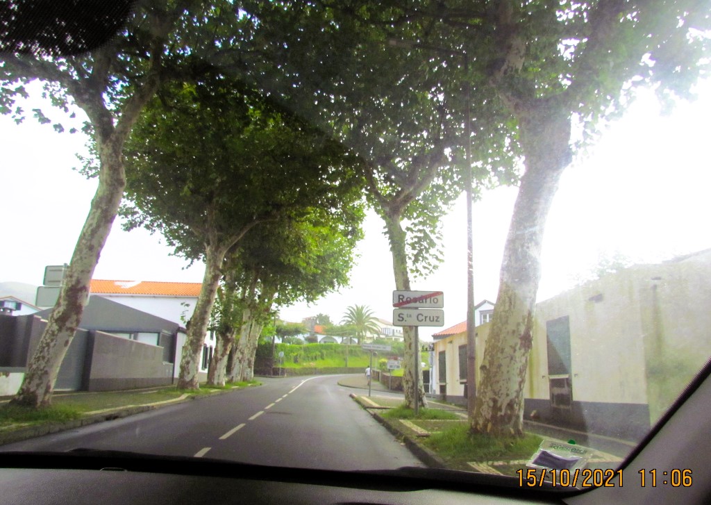
The town of Água de Pau is located along the southern coast of the island of São Miguel, approximately 7 kilometres (4.3 mi) from the municipal center of Lagoa. It is bordered on either frontier by the Lagoan parishes of Santa Cruz (to the west) and Ribeira Chã (to the east), and fronts the Atlantic Ocean to the south. The interior headlands form part of the Água de Pau Massif, the central volcanic complex that formed the municipality and central portion of the island. This area is a shared frontier with the parishes of Santa Bárbara and Ribeira Seca in the municipality of Ribeira Grande (to the north) and Água de Alto (to the east) in the municipality of Vila Franca do Campo.
The territory is bisected by the Via-Rapida that transits the territory from Ponta Delgada to Vila Franca do Campo, but also by an older municipal roadway that connects the villages of the municipality, while rural roads intersperse these areas.
Architecture
The village has a rich architectural history, and can be seen in many of the civil and religious buildings erected over the centuries. The water fountains are particularly important vestiges of the historical community. To many of the local residents, these fountains were the sources of water, and centers of community meetings and fraternization. The main Chafariz de Água de Pau, located in the Largo de São Pedro, the fountain Praça da Republica and the water fountain of Nossa Senhora dos Anjos were important markers of community life within the villa.
Civic
Civil Parish Offices (Portuguese: Junta de Freguesia de Água de Pau), the civil parish office building, constructed in the 18th century, by the father of the old Captain-major of the villa of Água de Pau. It is a rectangular building, with a front facade of basalt rock, a private park, and an older chapel, utilized as offices by the local mayor. This building is also referred to as the Casa da Estrela ("House of the Star") because its owner, Floriano Vítor Borges (who was responsible for many of the large public works on the island of São Miguel), placed a copper star on the main door (in the first half of the 20th century).
Residence of the Captain-Major (Portuguese: Casa do Capitão-Mor), located along the Rua da Natividade, the house of the Captain-major was the residence of João Policarpo Botelho de Arruda and is an example of the 18th-19th-century nobleman's residence;
Religious
Chapel of São Pedro (Portuguese: Capela de São Pedro), dedicated in 1907 to the apostle Peter, this chapel is located in the cemetery and was extended in 2000 to include a small museum.
Church of Nossa Senhora dos Anjos (Portuguese: Igreja Paroquial de Água de Pau/Igreja de Nossa Senhora dos Anjos), in the parochial church of the village of Água de Pau, it is located on a small hill along the main regional road. This church was "decorated" by King D. Manuel I, for the services of several local men, but the church was destroyed during the 1522 earthquake. The new temple was begun in 1525, and completed in the Baroque style in 1744, expanding the interior to three naves (a royal coat-of-arms and rich panels of azulejos are part of the interior).
Convent of Caloura (Portuguese: Convento da Caloura/Recolhimento da Caloura), the convent and annex chapel of Our Lady of Pain is located in the resort of the same name. The main nave of the church is covered in poly-chromatic azulejos, with the main altar covered in gold leaf, in addition to strange images of bearded angels. Until 1541, the convent was a residence for many nuns, and later replaced by monks owing to constant attacks by pirates in the area. An image of Senhor Santo Cristo dos Milagres, gifted by the Pope, resided with the nuns and traveled with them to the Convent da Esperança, in Ponta Delgada. The convent is currently private property.
Hermitage of Nossa Senhora do Monte (Portuguese: Ermida de Nossa Senhora do Monte), located on a hill in Água de Pau, this chapel was created after a Marian apparition by a local child, Maria Joana Tavares do Canto and her friend (but later approximately 12,000 people witnessed the apparition of the Virgin Mary on July 5, 1918). The chapel was constructed by the parents of Maria Joana, in a hexagonal design with an image of Nossa Senhora do Monte alongside the altar. In 1998, an illuminated cross was constructed behind the chapel.
Hermitage of São Tiago (Portuguese: Ermida de São Tiago), located in the Largo do Santiago in Água do Pau, it was constructed in 1700 and dedicated to the Apostle James; since 1986, it has been used as a mortuary chapel.
Culture
Festivities
Água de Pau's principal festival occurs on the assumption day of Nossa Senhora dos Anjos aos Céus, on August 15: the second oldest religious festival on the island of São Miguel. Locals and tourists participate in the event, which includes promices, petitions to the Virgin Mary, and prayers of thanksgiving. A traditional procession runs through the streets of the villa,. Following the weekend, the Festa do Pescador (Fisherman's Festival) in the seaside resort of Caloura is celebrated. In addition to music and traditional choruses, the popular local cuisine is celebrated with fried Largehead hairtail and mackerel washed down with local red wine and cornbread. The feast day of Nossa Senhora das Dores is also widely celebrated, on the second or third Sunday in September.
The town also participates in the annual Festivals of the Divine Holy Spirit, celebrated in its six principal impérios or religious niche/chapels: the Império da Festa, the Império da Trindade, the Império de São João, the Império do Coração de Jesus, the Império de São Pedro, and the Império de São Tiago.
Celebrations to honor the elevation of Água de Pau to the status of villa, on July 28, are also popular in the community and celebrated in the Largo de São Tiago and Casa da Junta (the parish house).


👇👇👇👇

SANTA CRUZ
(PARISH OF LAGOA MUNICIPALITY)
37°45′1″N 25°32′27″W
Santa Cruz is a parish in the municipality of Lagoa, with an area of 14.26 km² and 3,528 inhabitants (2021 census).
Heritage: Main Church, Franciscan Convent, Municipal Palace, Chapel of Nossa Senhora do Cabo and Chapel of Nossa Senhora dos Remédios, fountains and several houses with regional architecture
Other Locations: Garden of the Convento dos Franciscanos, viewpoint on the Lagoa do Fogo road, Chã de Marcela picnic park and seafront.
It is the main parish of the municipality and the most rural. Here are some of the most important natural spaces in the village, such as the Lagoa do Fogo viewpoint and Chã da Marcela, with its forest and picnic park.
The history of this parish dates back to the 15th century, but we are left with a date of extreme importance for its destiny: April 22, 1522. On that day, D. João III elevated Lagoa to the category of town and this parish became the seat of the municipality.
The main church, dedicated to the Holy Cross, was built in the 16th century. Its current front, however, dates back to 1844. Inside, the vaults of the main chapel and the Chapel of the Santíssimo are in Manueline style, and the pulpit, which came from the church and the former convent of S. Francisco de Ponta Delgada, features a candy with the date October 1782.
The Franciscan convent, built in the 18th century, is one of the richest religious buildings in this municipality. Its church, dedicated to Saint Anthony, has a decorated baroque facade. Inside, the carving work on the main altar and an image of Our Lady of the Conception stand out.
Two chapels still deserve mention. The Chapel of Nossa Senhora do Cabo, from the 17th century, has a facade covered in tiles from the same period. The Hermitage of Nossa Senhora dos Remédios, dating from the 16th century, is located in the same name and has an altar front covered in Spanish-Arabic tiles and a distaff image of the patron saint.
The natural heritage needs to catch up to the built heritage. On the contrary. The parish has an extraordinary beauty. Enchanting landscapes spread everywhere. One of its most interesting points is Chã da Marcela, which houses a small forest park with an extensive area. Various plant species grow there, some endemic (laurel, queiró, heather, cedar do mato, a grape from the mountains) and others brought from outside the island, such as araucaria, cryptomeria, cedars, acacias, and pine trees. There is also a picnic park.
Another point of extraordinary interest is the Lagoa do Fogo viewpoint. The road that gives access allows you to appreciate the entire south and north coast of the island of S. Miguel.º


Convento dos Franciscanos (Convent)
37º44'42.2"N 25º33'47.2"W
Parish: Santa Cruz
In the wake of the 1522 cataclysm that devastated Vila Franca, at the time the capital of São Paulo, a process of gradual relocation of the center of power to the western area of the island was accentuated, benefiting mainly Ponta Delgada, but also Lagoa.
The Convent of Nossa Senhora da Conceição da Lagoa, popularly referred to simply as Convento dos Franciscanos and Convento dos Frades, is located in the city of Lagoa, parish of Santa Cruz, municipality of Lagoa, island of São Miguel, in the Azores.
The Tomaz Borba Vieira Municipal Library is currently located there.
History
It was built by the Order of Friars Minor between the 17th and 18th centuries.
With the extinction of the male religious orders (1834), the complex passed to the civil sphere, starting to house the municipality's public offices, notably services linked to municipal administration, finance and public education, by installing a school in the immobile. At the time of the First World War, it was used as a detention center for German prisoners; during the Second World War, it served as a troop barracks.
Characteristics
It presents itself as a solid and voluminous construction with an attached garden.
The Baroque Chuech, has a facade torn by a portal flanked by twisted columns. Single nave interior, with emphasis on the main altar, in gilded carving, where there is an image of Our Lady of Conception.
The three side altars invocate Our Lady of Mount Carmel, Saint Anthony, and Saint Christ of the Thirds.


👇👇👇👇

RIBEIRA CHÃ
(PARISH OF LAGOA MUNICIPALITY)
37°43′11″N 25°29′13″W
Ribeira Chã is a civil parish in the municipality of Lagoa in the Portuguese archipelago of the Azores. It is located along a cliff that overlooks the Atlantic Ocean. The population in 2011 was 396, in an area of 2.50 km2. Ribeira Chã is the smallest parish by population and area in the municipality of Lagoa.
History
The area obtained its name from the ravine that runs alongside the valley and flows to the sea, through a grotto of cliffs and rocky crags.
Until the 17th century, it was a small locality known as a hunting ground for Guinea fowl, where few settled, owing to difficult accessibility. Those who did settle in the hilltop plain were primarily dedicated to hunting and the wood industry, an important economic activity in the Azores until the 15th and 16th centuries.
The first population agglomeration developed in 1637: at that time, Ribeira Chã included less than 150 inhabitants. By 1725, a small hermitage was erected in honor of Nossa Senhora da Ajuda (Our Lady of Help/Aid), ordered constructed (with license from Bishop D. Manuel Álvares da Costa) by José Botelho Veloso and Francisca Frias, alongside their home.[3] The hermitage was constructed for the populace of Ribeira Chã, who were obliged to travel the 2.4 kilometers (1.5 mi) until the Church of Nossa Senhora dos Anjos, in Água de Pau, through the paths and torturous roads, which were dangerous on rainy, windy or warm days.
Architecture
Church of São José (Portuguese: Igreja de São José), a modernist church by architect Read Texeira, constructed on an elevated platform, once occupied for 111 years by a smaller hermitage.
Culture
The church and the local ethnography museums offer glimpses into the life of this agrarian society, including a children's garden, multi-purpose sports gymnasium, children's recreational center, and seniors center.
Museum of Sacred Art (Portuguese: Museu de Arte Sacra), a reconstructed homage to the old Church of Ribeira Chã (1853-1965), that preserves the traditional images of Saint Joseph, Our Lady of Ajuda, Saint Anthony, and the 1902 tabernacle. In addition, the old sacristy includes a ceramic reservatory, executed in 1870 and transported to Expo98 in Lisbon.
Museum Residence of Maria dos Anjos Melo (Portuguese: Casa Museu de Maria dos Anjos Melo), donated to the church by its former owner, the house is a typical example of rural life in Ribeira Chã. Inaugurated in 1996, the home includes many of the utensils, furniture, and other objects of ethnographic value.
Agricultural Museum and Ethnographic Garden (Portuguese: Museu Agrícola e Quintal Ethnográfico), concluded in 1982, the ethnographic museums include examples of the agricultural implements and machinery used in the pastel era, including endemic Azorean plant species.


💝💝💝💝💝
INDEX
Search in São Miguel Island & Azores
😍😍😍😍 - AZORES ISLANDS
💟💟💟 - São Miguel Island
🔟🔟🔟🔟 - Must-see attractions
💙💙💙💙 - Municipalities
💙💙 - Parishes

- Must-see attractions

Municipalities and Parishes

Sao Miguel Island
AZORES ISLANDS
🙆🙆🙆🙆🙆🙆🙆🙆🙆🙆
🙆🙆🙆🙆🙆🙆🙆🙆🙆🙆
Return to the Index
INDEX
Search in São Miguel Island & Azores
😍😍😍😍 - AZORES ISLANDS
💟💟💟 - São Miguel Island
🔟🔟🔟🔟 - Must-see attractions
💙💙💙💙 - Municipalities
💙💙 - Parishes
- Must-see attractions
Municipalities and Parishes
Sao Miguel Island
AZORES ISLANDS
Return to mainland Portugal and
to the Azores and Madeira islands


No comments:
Post a Comment